- Civil Engineer Wire
- Posts
- Exploring the Depths of GIS
Exploring the Depths of GIS
An overview of QGIS vs ArcGIS
Trip Edwards
January 18, 2024
Welcome to Civil Engineer Wire, a newsletter devoted to civil, structural, and architectural engineers in a time of great change. If this post was forwarded to you and you like what you see, click below or head over to civilengineerwire.com to subscribe.
Two new sections we’re experimenting with today: Machines I Wish I Owned and Catastrophes and Marvels. Let us know what you think. Let’s dive in.

Generative AI’s interpretation of GIS mapping, brought to you by DALL-E 3
In this edition, we'll be exploring two powerful Geographic Information System (GIS) tools: QGIS and ArcGIS. Whatever your experience with these tools, we hope this breakdown will be insightful. For the full report, please visit our website here. 🌐
QGIS - Unleashing the Power of Open Source
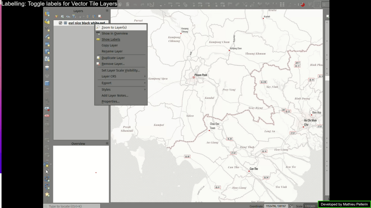
QGIS - Labelling, Toggle Labels for Vector Tile Layers
QGIS, short for Quantum GIS, is an open-source GIS software that's making waves in the mapping community. Here are some highlights:
Fun facts: as first reported in an interview with XYHT, QGIS was founded by Gary Sherman as a solo, hobby effort in February 2002, driven primarily by a desire to view PostGIS on his Linux box. By employing a release early, release often approach, the platform quickly scaled and today boasts over 400 developers, of which 32 have pushed 225 commits to master and 282 commits to all branches on github in the last month.
Cost-effective: QGIS is free to use (supported by a long list of donors).
Community-driven: It's like the Wikipedia of GIS!
Cross-platform compatibility: QGIS runs on Windows, macOS, Linux, and even on some mobile devices.
Plugin support: QGIS has a wide range of plugins developed by its community.
The latest release, QGIS 3.34 Prizren, came in Nov-2023 and includes:
Advanced 3D features
Enhanced symbology and rendering
Improved mapping tools
Print layout enhancements
Expressions and analysis capabilities
Data management and processing improvements
And more..
Machines I Wish I Owned
ArcGIS - The Industry Giant
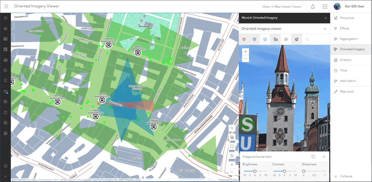
ArcGIS Online - Map View, Oriented Imagery Viewer
Developed by Esri, ArcGIS has been a dominant force in the GIS realm for decades. The product is split across three main licensing types:
Here's why it's an industry favorite:
Comprehensive toolset: ArcGIS offers an extensive suite of tools.
Enterprise solutions: Tailored for large organizations, particularly where firewalls around internal data are important.
Global user base: Widely adopted across various industries.
Integration capabilities: A holistic GIS ecosystem.
The latest release for ArcGIS Enterprise, 11.2 (typically has one to two releases per year), includes the following highlights:
ArcGIS video server
51 instances of ArcGIS web adaptor
Create task operation to schedule geoprocessing services.
New field data types: big integer, date only, time only, timestamp offset
And more…
The latest release for ArcGIS Online came in Oct-2023 (typically updates three times a year) and includes the following highlights:
Multifactor authentication
Oriented imagery viewer
Box plots
Save group layers as items
Sketch features can now be duplicated
Find Point Clusters
And more…
Catastrophes & Marvels
Choosing Your Weapon: QGIS or ArcGIS?
Ultimately, the choice between QGIS and ArcGIS depends on your specific needs, budget, and preferences.
QGIS is perfect for individuals and small organizations with limited budgets or those who prefer open-source solutions and community-driven development.
ArcGIS shines for large enterprises requiring a robust, scalable GIS infrastructure or professionals who value a comprehensive toolset and industry-standard support.
Both QGIS and ArcGIS have their strengths, and the best choice depends on the unique demands of your GIS projects. Full report here.
🎁 Want to win a YETI M12 soft backpack cooler?
Forward any of our issues to other civil and architectural engineers in your network and ask them to subscribe. Starting in February, we’ll include a running leaderboard in each issue and send a new YETI M12 cooler to the reader who’s referred the most subscribers at the end of the year.
The Industry Scoop
Engineers' algorithm helps automated vehicles overcome poor road lane markings: One study emphasizes the crucial role of high-quality lane markings for safe and efficient operations of connected and autonomous vehicles (AVs). Researchers conducted real-world trials using an instrumented vehicle to simulate AV data input and developed an algorithm addressing poor lane marking limitations. Findings indicate that inadequate lane markings, influenced by factors like weather conditions, significantly impact AV safety, highlighting the need for advanced sensors and comprehensive digital road maps. (Source: Civil Engineering Source)
The Texas power grid is on the verge of another fatal collapse. Green energy is absent: The Texas power grid faces a crucial test as ERCOT (Electric Reliability Council of Texas) issues a conservation request amid evolving and deteriorating weather conditions. The state's wind industry is blamed for failures due to "unseasonably low wind," highlighting the challenges of relying on renewable sources like wind and solar. The situation underscores the pivotal role of natural gas, which contributes significantly to power generation, emphasizing that the success or failure of the Texas power grid hinges on the performance of natural gas rather than renewables. The state is dependent on the ability of the natural gas industry to maintain production and prevent infrastructure freezing during severe weather events. (Source: Telegraph)
Minn. governor Walz announces $982M 2024 Infrastructure Plan: Governor Tim Walz’s infrastructure proposal for Minnesota focuses on clean water projects, public safety, transportation, housing infrastructure, and state preservation. While Duluth was not specifically mentioned for funding, the plan recommends $3 million for the Port Development Assistance Program. Local leaders are optimistic about receiving funding during the legislative session, with Duluth requesting $67 million for projects like a new air traffic control tower and DECC improvements. The governor's plan includes specific allocations for the Iron Range, such as enhancing storage at the Hibbing Drill Core Library and renovating the Hibbing Readiness Center. (Source: Northern News Now)
The Ladder
Senior Civil Engineer - Foresite Group, Inc. (Austin, TX)
Senior Civil Engineer, Landfill & Solid Waste Consultant - WSP (Boulder, CO)
Site Civil Engineer - Wilson & Company (Phoenix, AZ)
Civil Engineer II, Public Service - City of Charleston (Charleston, SC)
Civil Engineer 6 - CDM Smith (Fairfax, VA)
Dive in & Connect
For your benefit, we have a dedicated slack channel for Civil Engineer Wire subscribers to connect, share insights, and support one another on their journeys to make an impact in the world of civil engineering. If you’d like to join, simply click the subscribe link below and we’ll send you an invite. Or, feel free to send us a note at [email protected]; we’d love to connect.
As always, email us your thoughts and follow us on X @CivilWire and LinkedIn.
Until next time; happy goal crushing.