- Civil Engineer Wire
- Posts
- Tooling: QGIS vs ArcGIS
Tooling: QGIS vs ArcGIS
A breakdown of features and functionality
Trip Edwards
January 18, 2024
Welcome to Civil Engineer Wire, a newsletter devoted to civil, structural, and architectural engineers in a time of great change. If this post was forwarded to you and you like what you see, click below or head over to civilengineerwire.com to subscribe. Let’s dive in.
Today we’re exploring two powerful Geographic Information System (GIS) tools: QGIS and ArcGIS, including a breakdown of latest releases. You’ve undoubtedly heard of and likely used both of these tools. Wherever you are in your experience, we hope you find this post insightful. 🌐
QGIS - Unleashing the Power of Open Source
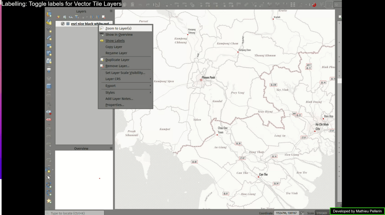
QGIS - Labelling, Toggle Labels for Vector Tile Layers
QGIS, short for Quantum GIS, is an open-source GIS software that's making waves in the mapping community. Here are some highlights:
Fun fact: as first reported in an interview with XYHT, QGIS was founded by Gary Sherman as a solo, hobby effort in February 2002, driven primarily by a desire to view PostGIS on his Linux box. By employing a release early, release often approach, the platform quickly scaled and today boasts over 400 developers, of which 32 have pushed 225 commits to master and 282 commits to all branches on github in the last month.
Cost-effective: QGIS is free to use (supported by a long list of donors), making it an attractive option for small businesses, nonprofits, or anyone working on a tight budget.
Community-driven: With a vibrant community of developers and users, QGIS receives continuous updates and improvements. It's like the Wikipedia of GIS!
Cross-platform compatibility: QGIS runs on Windows, macOS, Linux, and even on some mobile devices. This flexibility ensures accessibility across various operating systems.
Plugin support: Need extra functionality? QGIS has a wide range of plugins developed by its community, extending its capabilities to suit diverse needs.
The latest release, QGIS 3.34 Prizren, came in Nov-2023 and includes the following highlights:
Advanced 3D features
Manage large 3D scenes with a configurable GPU memory limit.
Geometry classes now support boundingBox3D.
Enhanced symbology and rendering
Customize selection color and symbol settings for vector layers, enhancing visibility and allowing for better customization.
Introducing "Sticky" Map Decorations for efficient rendering during navigation.
A new map render profiler helps identify layers causing long redraws.
Improved mapping tools
You now have the option to enforce the use of the “dot” as a decimal separator in the measure tool, ensuring consistent data copying across different locales.
When using the identify tool, the results now include the display of raster row/column for clicked points, offering additional information for analysis.
Print layout enhancements
Efficiently select multiple items in print layouts for improved productivity.
Page numbers are now reflected in page properties.
Automatically open exported layouts with a new export option.
Expressions and analysis capabilities
Symbology tabs now support raster band description.
Perform advanced calculations with the new bearing expression function and layer_crs_ellipsoid variable.
Data management and processing improvements
Handle saving vector features in pre-existing files more effectively.
Maintain relations for copied features within the same layer.
Explore new processing tools such as the “Calculate expression” algorithm and GLTF/GLB file conversion.
And more..
Machines I Wish I Owned
ArcGIS - The Industry Giant
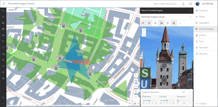
ArcGIS Online - Map View, Oriented Imagery Viewer
Developed by Esri, ArcGIS has been a dominant force in the GIS realm for decades. The product is split across three main licensing types:
ArcGIS Online: cloud-based mapping and analysis solution
ArcGIS Pro: desktop application for creating and working with spatial data
ArcGIS Enterprise: on-premise or cloud-based single tenant WebGIS
Here's why it's an industry favorite:
Comprehensive toolset: ArcGIS offers an extensive suite of tools for mapping, spatial analysis, and data management.
Enterprise solutions: Tailored for large organizations, ArcGIS provides scalable solutions for complex projects, making it the go-to choice for government agencies and large corporations, particularly where firewalls around internal data are important.
Global user base: Widely adopted across various industries, ArcGIS boasts a massive user community. This means abundant resources, tutorials, and a wealth of shared knowledge.
Integration capabilities: Seamlessly integrates with other Esri products and third-party applications, offering a holistic GIS ecosystem.
The latest release for ArcGIS Enterprise, 11.2 (typically has one to two releases per year), includes the following highlights:
ArcGIS video server is a new server role in ArcGIS Enterprise that is used to index, search, discover, and publish video services with geospatial and temporal context.
Install up to 51 instances of ArcGIS web adaptor (IIS) on a single machine.
The ArcGIS advanced editing user type extension is new at 11.2 and provides access to advanced geodatabase functionality and frameworks.
You can now use the create task operation in the ArcGIS Portal Directory REST API to schedule geoprocessing services.
Four newly supported field data types (big integer, date only, time only, timestamp offset) are available as a beta feature.
And more…
The latest release for ArcGIS Online came in Oct-2023 (typically updates three times a year) and includes the following highlights:
Administrators can now enforce multifactor authentication as well as configure a custom role that allows members to create and manage administrative reports without having other administrative privileges.
Map Viewer now supports viewing and managing oriented imagery layers using the oriented imagery viewer, including color and text enhancements.
Charts created from hosted feature layers or tables can now be configured with box plots.
You can now save group layers as items, enabling you to reuse group layers across your organization’s web maps.
Sketch features can now be duplicated, preserving symbol properties and pop-ups.
Find Point Clusters now creates charts as outputs for certain clustering method options.
And more…
Choosing Your Weapon: QGIS or ArcGIS?
Ultimately, the choice between QGIS and ArcGIS depends on your specific needs, budget, and preferences.
QGIS is perfect for:
Individuals and small organizations with limited budgets.
Those who prefer open-source solutions and community-driven development.
ArcGIS shines for:
Large enterprises requiring a robust, scalable GIS infrastructure.
Professionals who value a comprehensive toolset and industry-standard support.
Both QGIS and ArcGIS have their strengths, and the best choice depends on the unique demands of your GIS projects.
🎁 Want to win a YETI M12 soft backpack cooler?
Forward any of our issues to other civil and architectural engineers in your network and ask them to subscribe. Starting in February, we’ll include a running leaderboard in each issue and send a new YETI M12 cooler to the reader who’s referred the most subscribers at the end of the year.
The Ladder
Senior Civil Engineer - Foresite Group, Inc. (Austin, TX)
Senior Civil Engineer, Landfill & Solid Waste Consultant - WSP (Boulder, CO)
Site Civil Engineer - Wilson & Company (Phoenix, AZ)
Civil Engineer II, Public Service - City of Charleston (Charleston, SC)
Civil Engineer 6 - CDM Smith (Fairfax, VA)
Dive in & Connect
For your benefit, we have a dedicated slack channel for Civil Engineer Wire subscribers to connect, share insights, and support one another on their journeys to make an impact in the world of civil engineering. If you’d like to join, simply click the subscribe link below and we’ll send you an invite. Or, feel free to send us a note at [email protected]; we’d love to connect.
Until next time; happy goal crushing.